Dealing with Earth Model Uncertainty using Thermovision Tomography Solution
February 25, 2022The Thermovision Tomography (TVT) geophysical technology is a breakthrough method that explores diverse resources (like solid minerals, hydrocarbons, subsurface water deposits, etc.). It is faster, more affordable, and precise since it utilizes far-infrared photos. The TVT is also a method based on the analysis of the thermal characteristics of rocks.
With the TVT, there is no need for cumbersome equipment or on-the-ground work on licensing blocks since operations can begin soon after getting the location of the site’s intersection points. The mentioned technique has been implemented and employed by E&P businesses in several government initiatives run by the Ministry of Natural Resources of the Russian Federation and in 38 countries, including Africa.
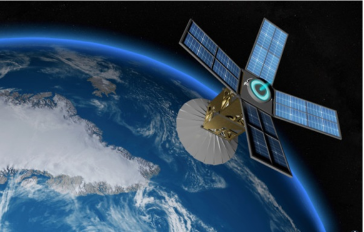
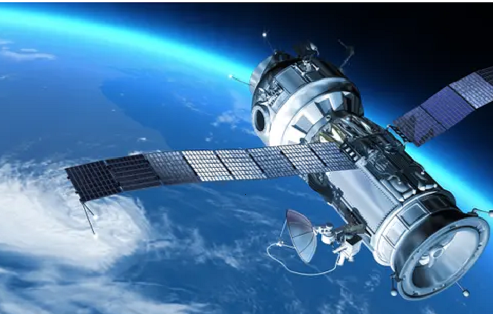
Thermovision Tomography (TVT) is a method for understanding ultraviolet and electromagnetic spectrum data gathered through satellites and sensors. This geophysical and geological is being used for discovery, information gathering, analysis, oil and gas surveying, reservoir monitoring and analysis, solid mineral exploration for iron, non-iron properties, and other valuable metals. We use trademarked computational models and technology in the 2D, 2.5D, and 3D models licensed blocks.
Thermovision Tomography is built on an aeronautical assessment and has several benefits ranging from the brief duration of the operation and economic benefits. It has no negative impact on the ecosystem and is not constrained by topography or elevation. We can use this TVT technology on land and at sea, in mountainous regions, dense foliage, and in any inaccessible terrain. The system utilizes satellites; thus, a commanding appearance is unnecessary. It provides a comprehensive information source for conducting geological studies.
When you deploy TVT, it delivers a thorough hydrocarbons pathway and analysis. It enables a rapid and reliable evaluation of the probable supply of hydrocarbons and other mineral deposits inside a license block—identifying promising locations and enumeration of oil- and solid-mineral-bearing areas/zones. The TVT Model has three dimensions of oil and gas resources and other minerals to estimate the block’s reserves with just specific navigators for suggested drilling locations. This model also lets you view the resources at a particular depth with cartographic representations of spectral aspects of environmental ecosystem systems.
When it comes to TVT technology, you can be sure of a double cost reduction because it is pretty affordable, highly informative, and friendly to the environment. Also, this software is compatible with any device, so you can be sure of getting only the best quality.
Oildynamix can use the Thermovision Tomography to give your company the best services. The technology is 100% environmentally friendly and is ideal for exploring mineral resources and oil reserves. When looking for Hydrocarbons, mineral products, etc., we utilize aerial photos from the Modis and Landsat satellites as feedstock for TVT activities. We do more material processing using state-of-the-art computers in the contractor’s office to get the best results. Thermovision Tomography does not involve deploying large machinery or acquiring geological work permits, which is time-saving.
There have been several exciting and fruitful results, so we estimate the reliability of TVT to be approximately 82% based on drilling outcomes in different locations of the world following TVT implementation. Considering the need for TVT for mining and exploration firms, we recommend using the new satellite technology for all geological investigations.
| ReplyForward |


