Thermovision Tomography (TVT) Analysis of Dry Wells
February 21, 2022
Dealing with Earth Model Uncertainty using Thermovision Tomography Solution
February 25, 2022A geohazard can cause widespread property damage or loss of life. Geological and environmental factors cause these dangers, and they might occur over a long or short period. Geohazards can be minor phenomena, but can also grow to enormous proportions and have significant social, economic, and environmental impacts. It has the potential to cause problems for the organization’s internal and external activities and external stakeholders. You want to avoid any of these risks.
A hazard occurs when drilling circumstances are not considered or are not appropriately examined before drilling begins. Drilling without doing a suitable risk assessment could result in severe danger. Therefore, it is necessary to invest in risk reduction and prevention techniques. Geohazards preconditions, their causes, and possible outcomes can all be evaluated using Thermovision Tomography.
Streams and channels in the shallow subsurface have the potential to cause geohazards. It is critical to identify these features as precisely as possible before the placement and drilling of wells. The incidence and consequences of geohazards, particularly offshore geohazards, should inspire the development of appropriate mitigation strategies and the establishment of suitable prevention mechanisms.
Reefs, unstable slopes, and fault scarps are some of the geohazards on the seafloor. There can also be aberrant pressure zones, buried channels, and gas-charged sediments as subsurface geohazards found at shallow depths. Artificial or synthetic geohazards can develop in wellheads and pipelines due to oil and gas activities.
Shallow geohazards can also destroy equipment and produce blowouts. During the predrill stage, it may be essential to conduct a hazard assessment using Thermovision Tomography to identify potential challenges and determine how to deal with them effectively. This enables you to make smarter, safer drilling considerations that impact well position and trajectory and identify the most appropriate locations for field operations.
Your objective is to reduce drilling risk while improving field planning. Risk mitigation in the offshore oil and gas industry entails more than just providing safety training and installing protective measures. It necessitates using best practices and cutting-edge technologies to conduct the appropriate assessments. Thermovision Tomography can do the appropriate assessments and evaluations to minimize the risk associated with drilling and other activities.
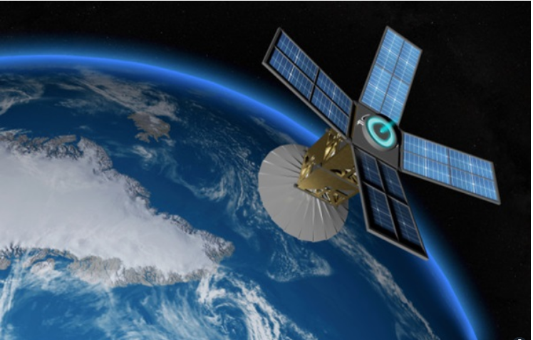
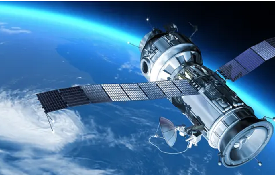
Your goal is to make an accurate assessment of geohazards. At OilDynmix, Our entire workflow comprises applying Thermovision Tomography to solve various oil and gas problems. We can use this technology to search for diverse minerals (hydrocarbons, solid minerals, subsurface water deposits, and so on) faster, cheaper, and with greater accuracy than previously possible. Thermovision Tomography uses satellite photos in the far-infrared wavelength region. It does not necessitate the use of heavy equipment, nor does it necessitate the completion of on-ground work on licensing blocks. Work can begin as soon as the coordinates of the site’s corner points are obtained.


